Filling the Reservoir
Filling the reservoir allows us to put the generating station, spillways, turbines and generators into operation, creating enough energy to power the equivalent of about 450,000 homes per year in B.C.
Construction began on July 27, 2015. Since the start of construction, the following work has been completed:
Once built, Site C will be a source of clean, reliable and affordable electricity in B.C. for more than 100 years. The engineering process that has been followed throughout the entire project is consistent with international best practices and the highest safety standards and has been reviewed by the independent Site C Technical Advisory Board.
We're implementing safety measures, reviewed and endorsed by two international experts, to ensure the right bank structures are safe over the long operating life of Site C.
The maps below are for informational purposes only. Maps include:
We’ve built a 2.6-kilometre-long shoreline protection berm along the shore of Hudson's Hope.
The berm - a large barrier made of riprap, rocks, and gravel - will reinforce the shoreline and protect it from potential erosion once the Site C reservoir is filled.
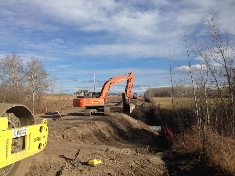
While filling the reservoir is one of the last activities on the Site C project, clearing the area began years in advance. Removing trees and vegetation from the dam site and the reservoir area helps ensure boater safety and reduce impacts to dam construction and operations.
Clearing has also taken place along the Highway 29 realignment.
![]()
In October 2020, we diverted the Peace River. This step, which changes the route of a short section of the river during construction, was one of the most important in the construction of Site C. Diverting the river allows us to build the earthfill dam across the main river channel, while keeping the river flowing.
The river is now flowing through two large diversion tunnels, approximately 750 metres long and 11 metres in diameter, which are located on the north bank of the river.
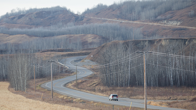
Connecting the community of Hudson's Hope with the Alaska Highway and Fort St. John, Highway 29 winds along the north side of the Peace River in northeastern B.C.
When reservoir filling begins in late August 2024, the Site C reservoir will widen the Peace River by two to three times on average, covering parts of the old highway.
We regularly issue information items, including letters, advisories and postcards, to local residents and stakeholders. These items provide information about specific upcoming construction activities.