Media
Image
Media Name
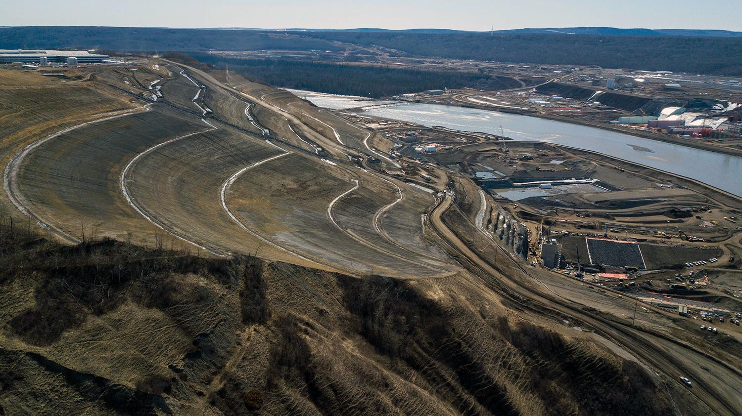
This slope has been flattened to remove excess material to ensure stability and will be the future left bank of the earthfill dam. | April 2020
Caption
This slope has been flattened to remove excess material to ensure stability and will be the future left bank of the earthfill dam. | April 2020
Media
Image
Media Name
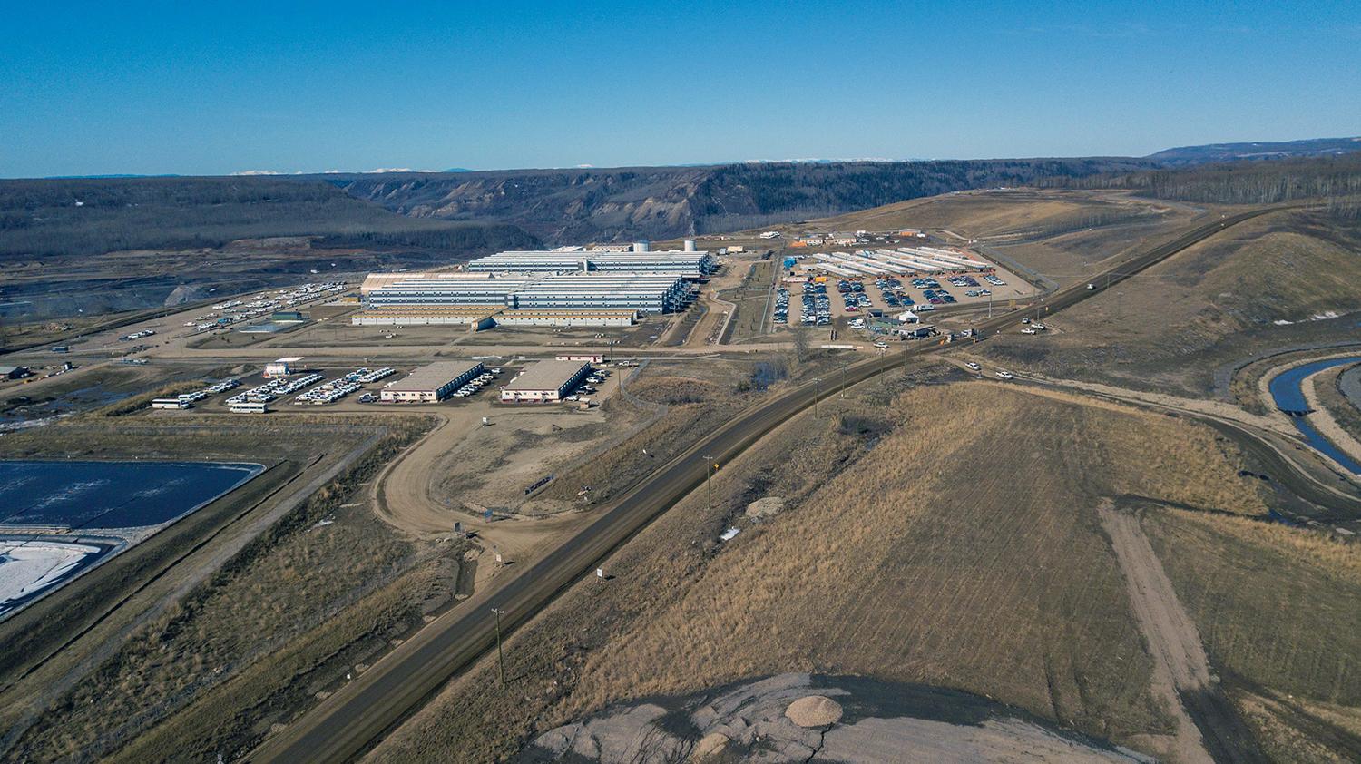
Looking west over the worker accommodation lodge. | April 2020
Caption
Looking west over the worker accommodation lodge. | April 2020
Media
Image
Media Name
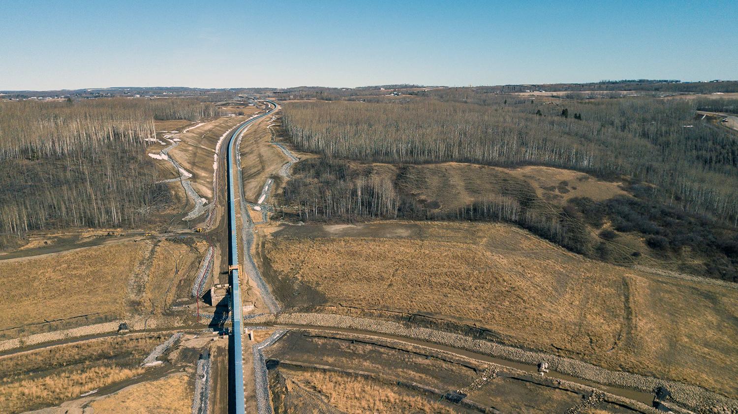
This conveyor belt will bring material from the 85th Ave industrial lands on Old Fort Rd. to the dam site. | April 2020
Caption
This conveyor belt will bring material from the 85th Ave industrial lands on Old Fort Rd. to the dam site. | April 2020
Media
Image
Media Name
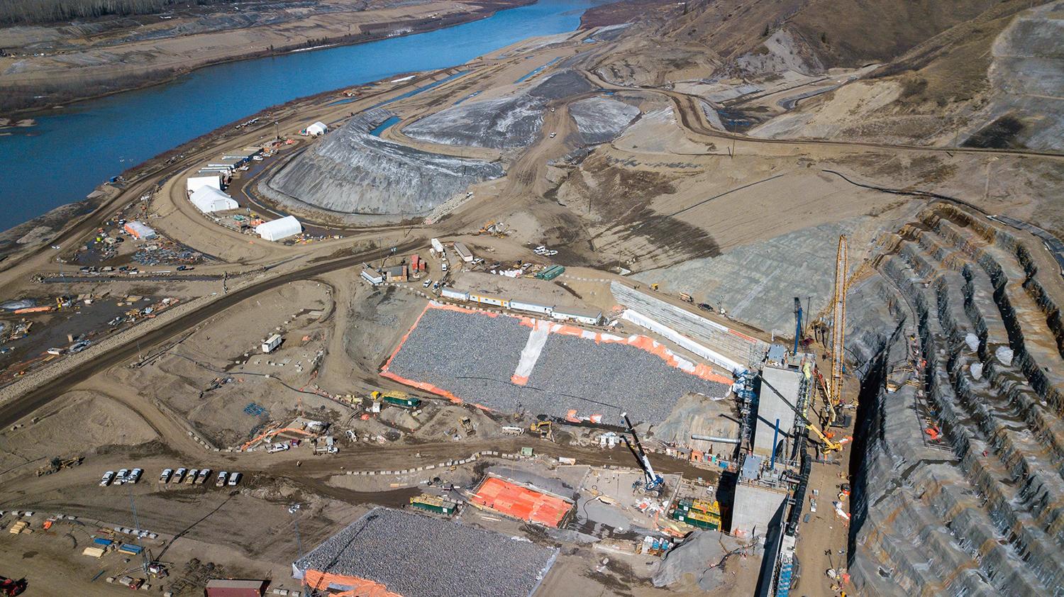
View of the diversion inlet portal on the north bank. | April 2020
Caption
View of the diversion inlet portal on the north bank. | April 2020
Media
Image
Media Name
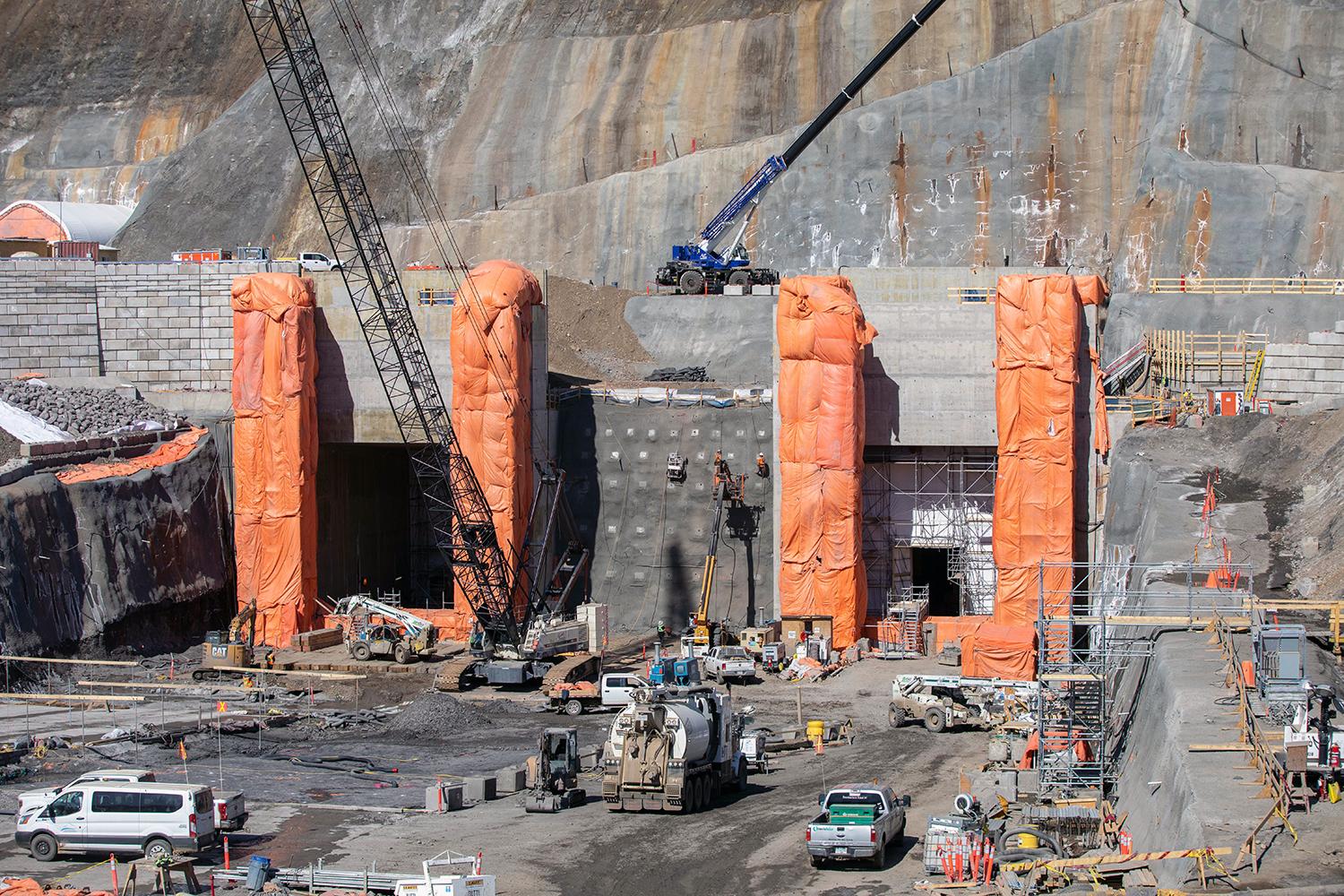
Ongoing work on the gate structures at the diversion tunnel outlet portal. | April 2020
Caption
Ongoing work on the gate structures at the diversion tunnel outlet portal. | April 2020
Media
Image
Media Name
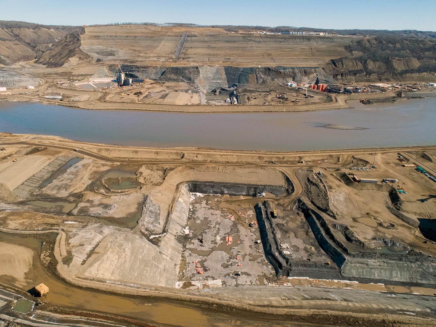
View of the south bank dam core trench facing the north bank dam core trench. | April 2020
Caption
View of the south bank dam core trench facing the north bank dam core trench. | April 2020
Media
Image
Media Name
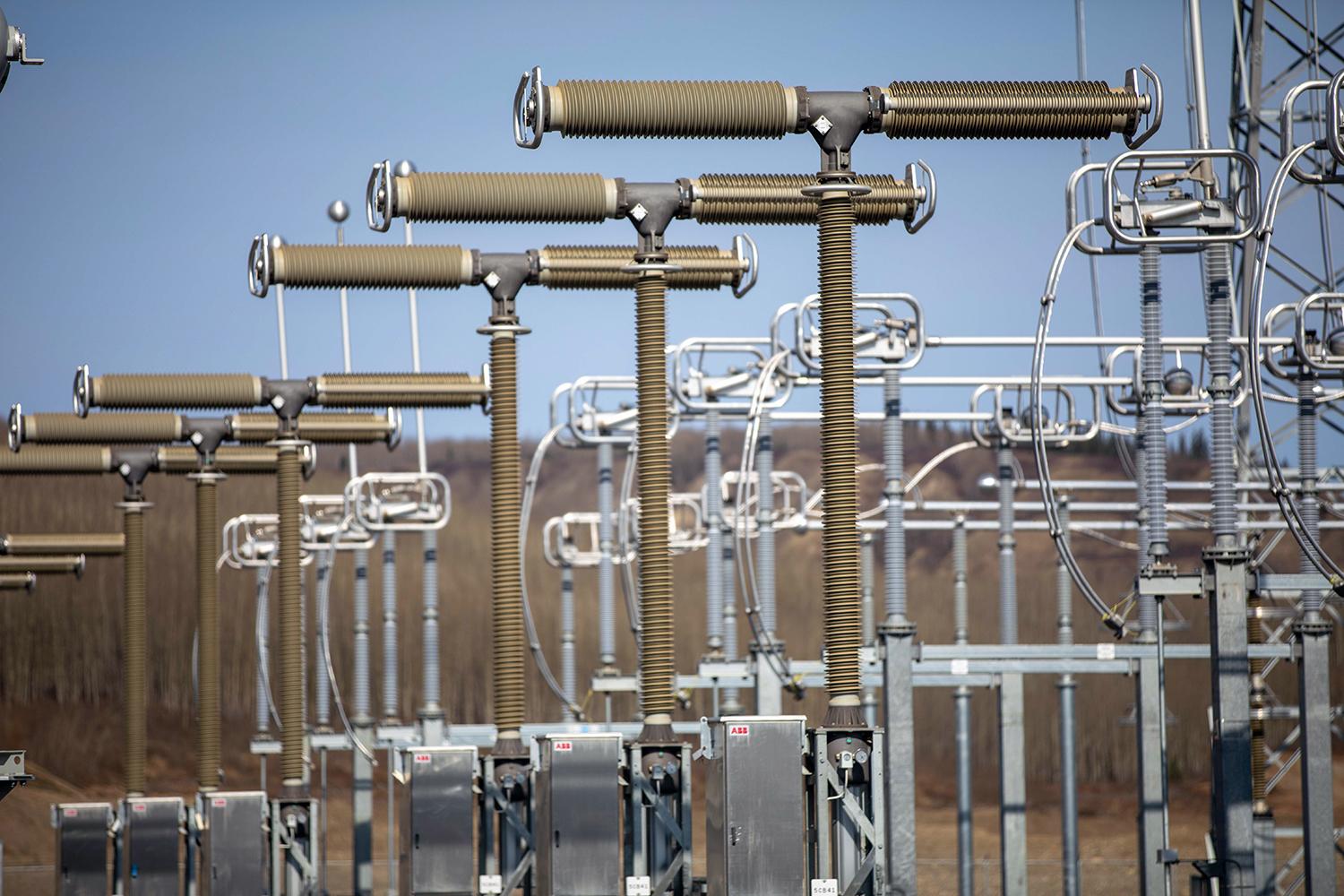
The 500 kV circuit breaker poles at the substation are assembled and ready for testing and commissioning. | April 2020
Caption
The 500 kV circuit breaker poles at the substation are assembled and ready for testing and commissioning. | April 2020
Media
Image
Media Name
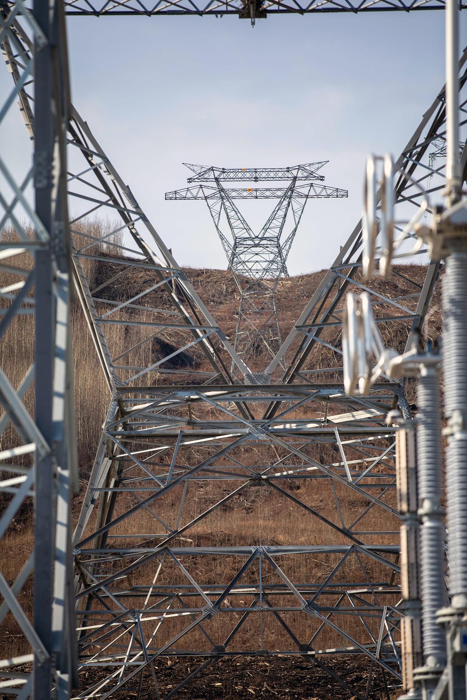
The first three of two hundred 500kV towers on 5L6 are installed in the right-of-way leaving the Site C substation. | April 2020
Caption
The first three of two hundred 500kV towers on 5L6 are installed in the right-of-way leaving the Site C substation. | April 2020
Media
Image
Media Name
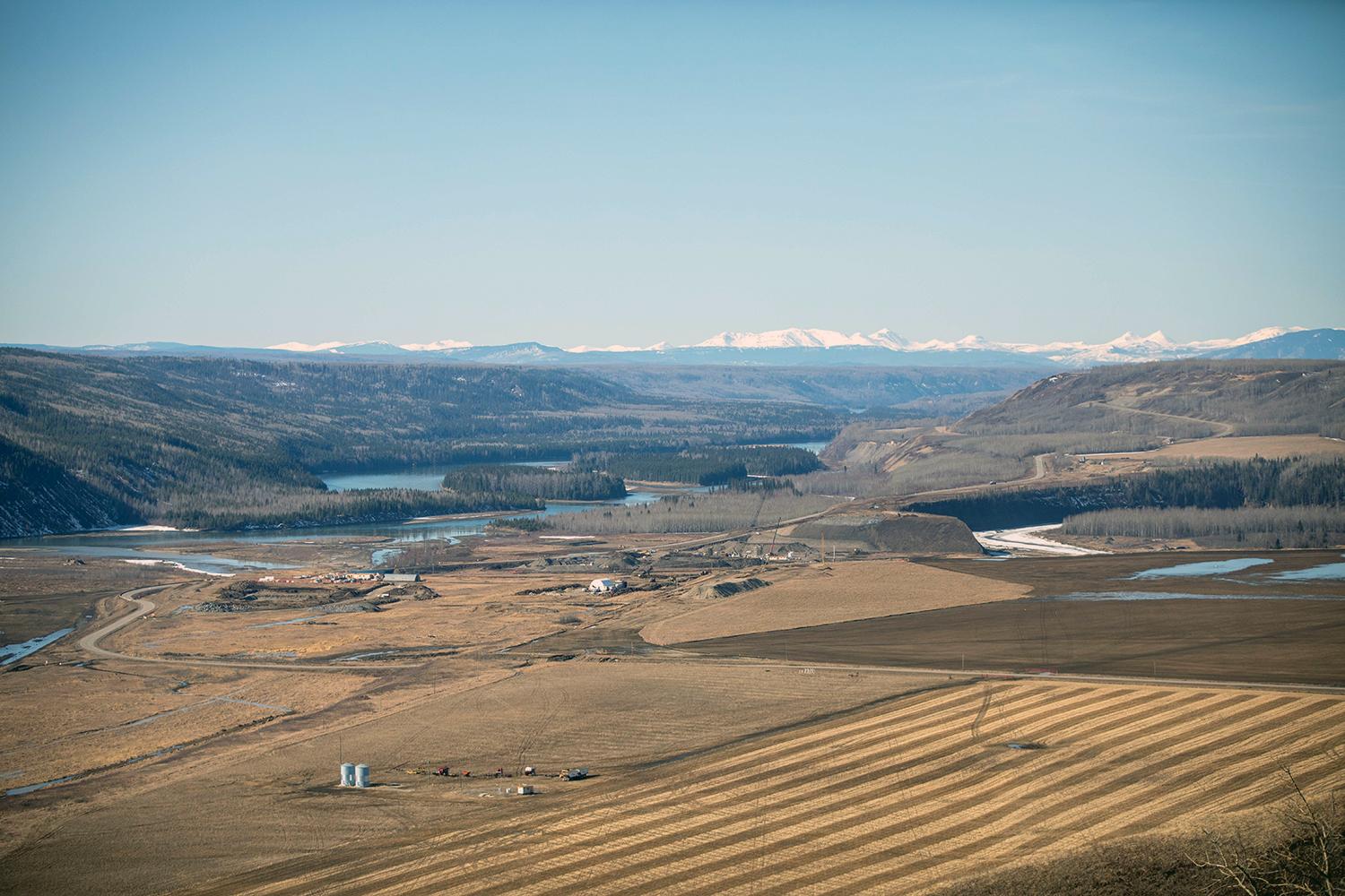
Construction of the Highway 29 realignment segment at Halfway River. | April 2020
Caption
Construction of the Highway 29 realignment segment at Halfway River. | April 2020
Media
Image
Media Name
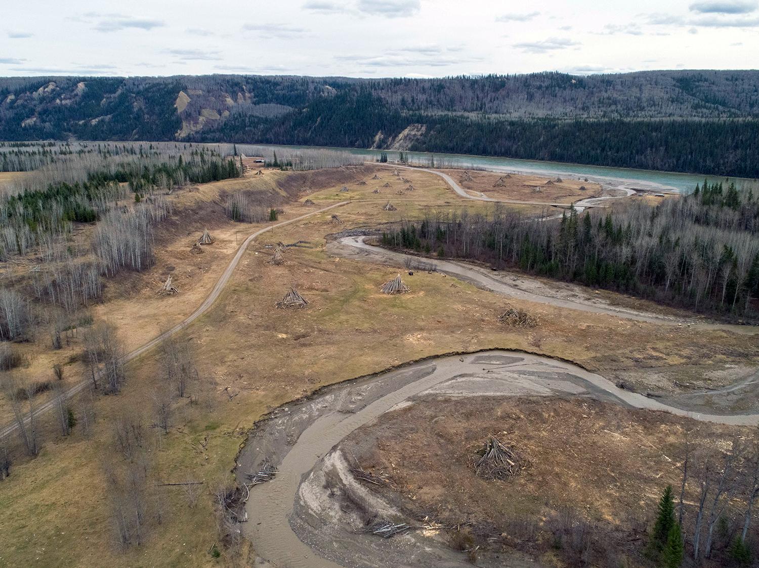
The Lynx Creek segment cleared for construction for the Highway 29 alignment. | April 2020
Caption
The Lynx Creek segment cleared for construction for the Highway 29 alignment. | April 2020
Media
Image
Media Name
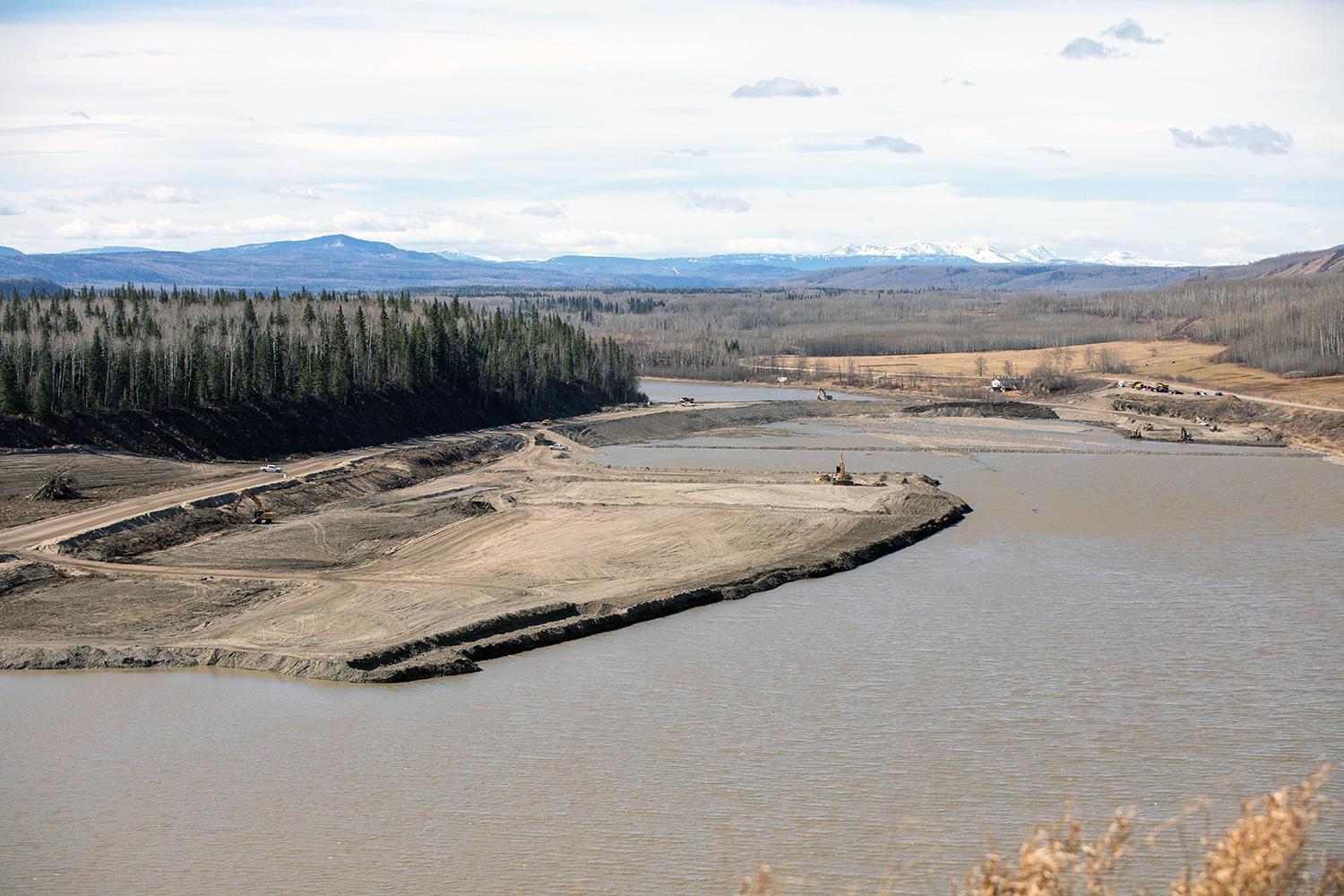
View of the causeway between Gates Island and Dry Island. | April 2020
Caption
View of the causeway between Gates Island and Dry Island. | April 2020
Media
Image
Media Name
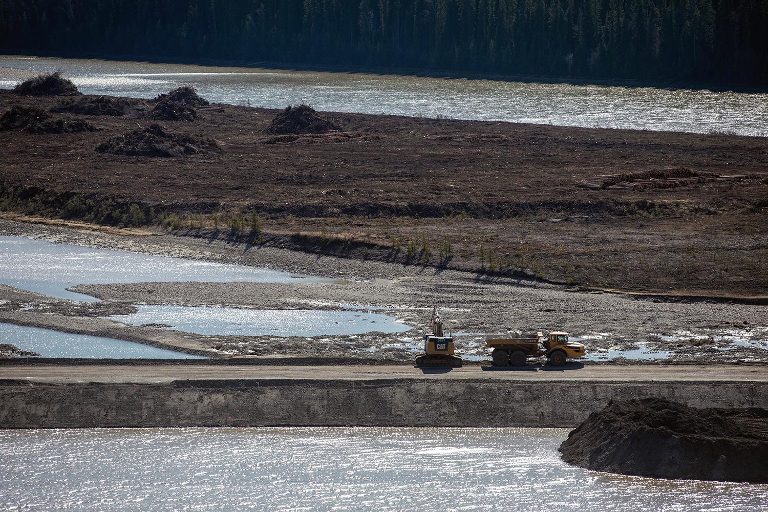
A downstream view of the causeway at Gates Island and Dry Island. | April 2020
Caption
A downstream view of the causeway at Gates Island and Dry Island. | April 2020
Media
Image
Media Name
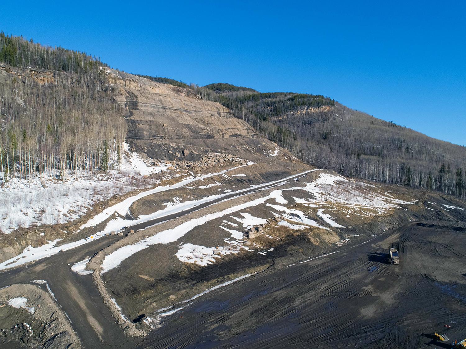
The lower rip-rap stockpile area at the bottom of Portage Mountain. | April 2020
Caption
The lower rip-rap stockpile area at the bottom of Portage Mountain. | April 2020
Media
Image
Media Name
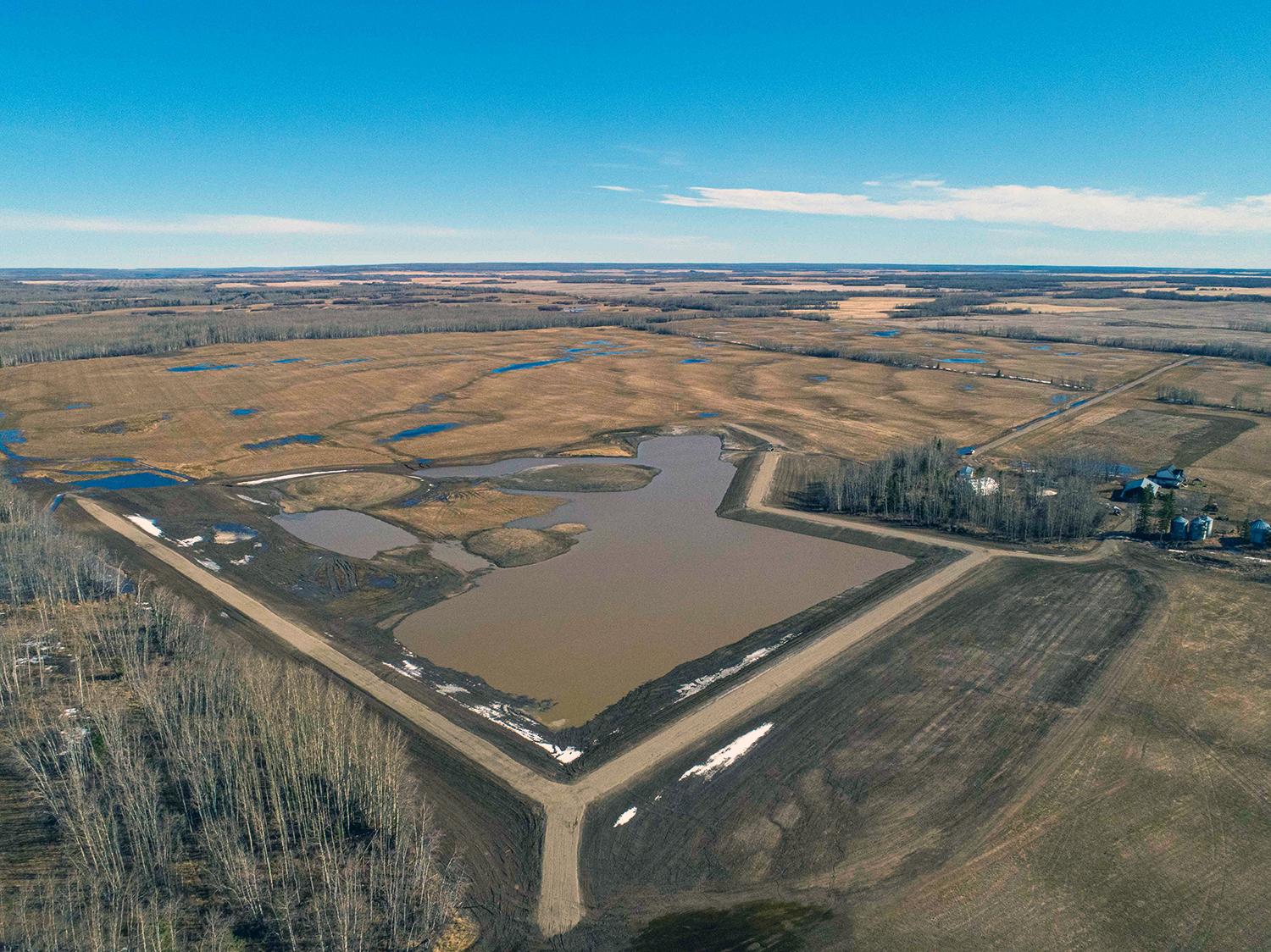
An aerial view of the main basin at the restored Golata Creek wetlands. | April 2020
Caption
An aerial view of the main basin at the restored Golata Creek wetlands. | April 2020
Media
Image
Media Name
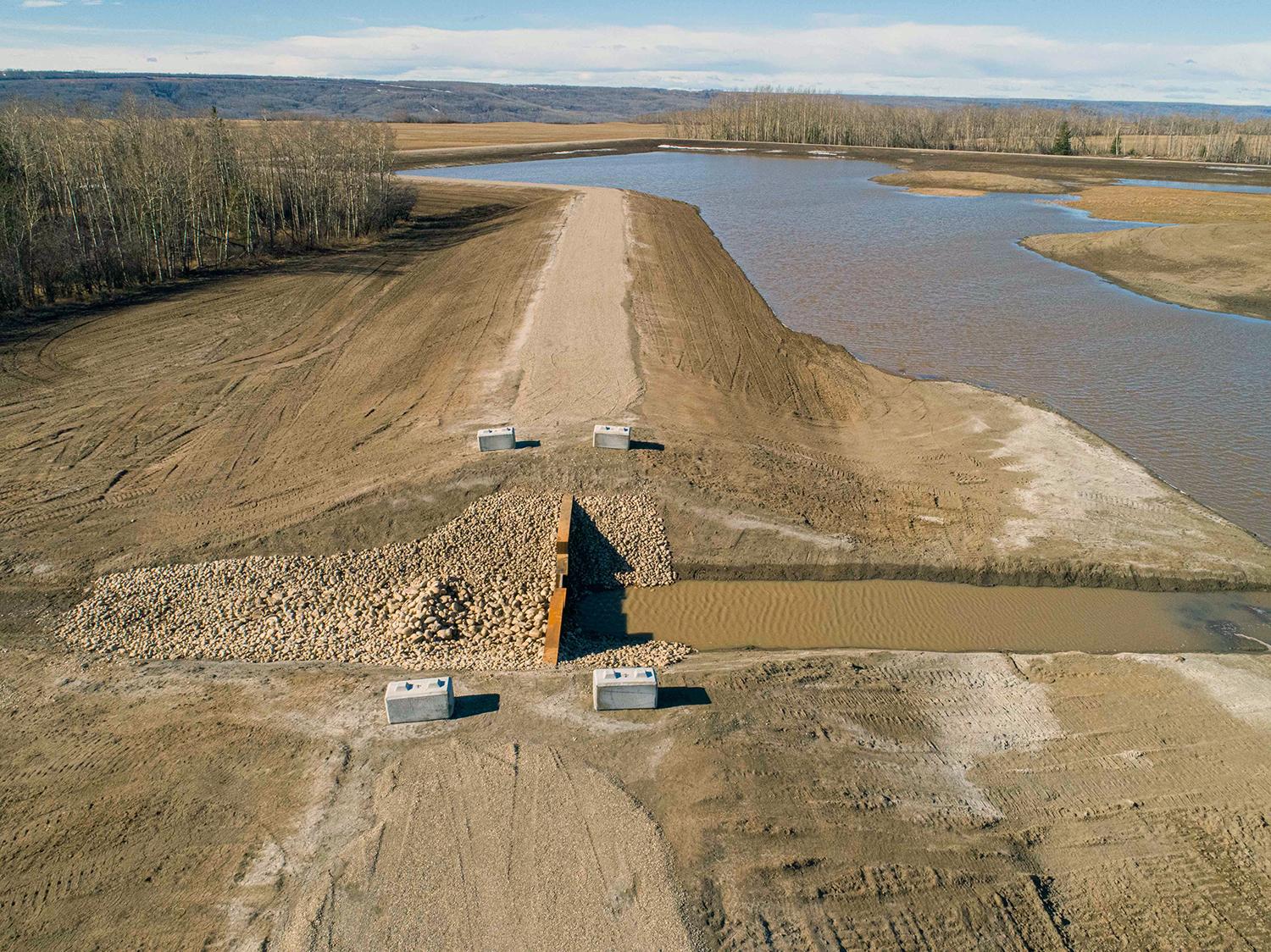
The earthen dam in the main basin in the restored Golata Creek wetlands allows control of the water level. | April 2020
Caption
The earthen dam in the main basin in the restored Golata Creek wetlands allows control of the water level. | April 2020
Media
Image
Media Name
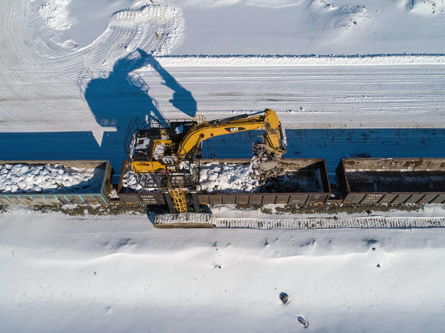
Receiving a delivery of rip-rap at the Septimus rail siding. | April 2020
Caption
Receiving a delivery of rip-rap at the Septimus rail siding. | April 2020
Media
Image
Media Name
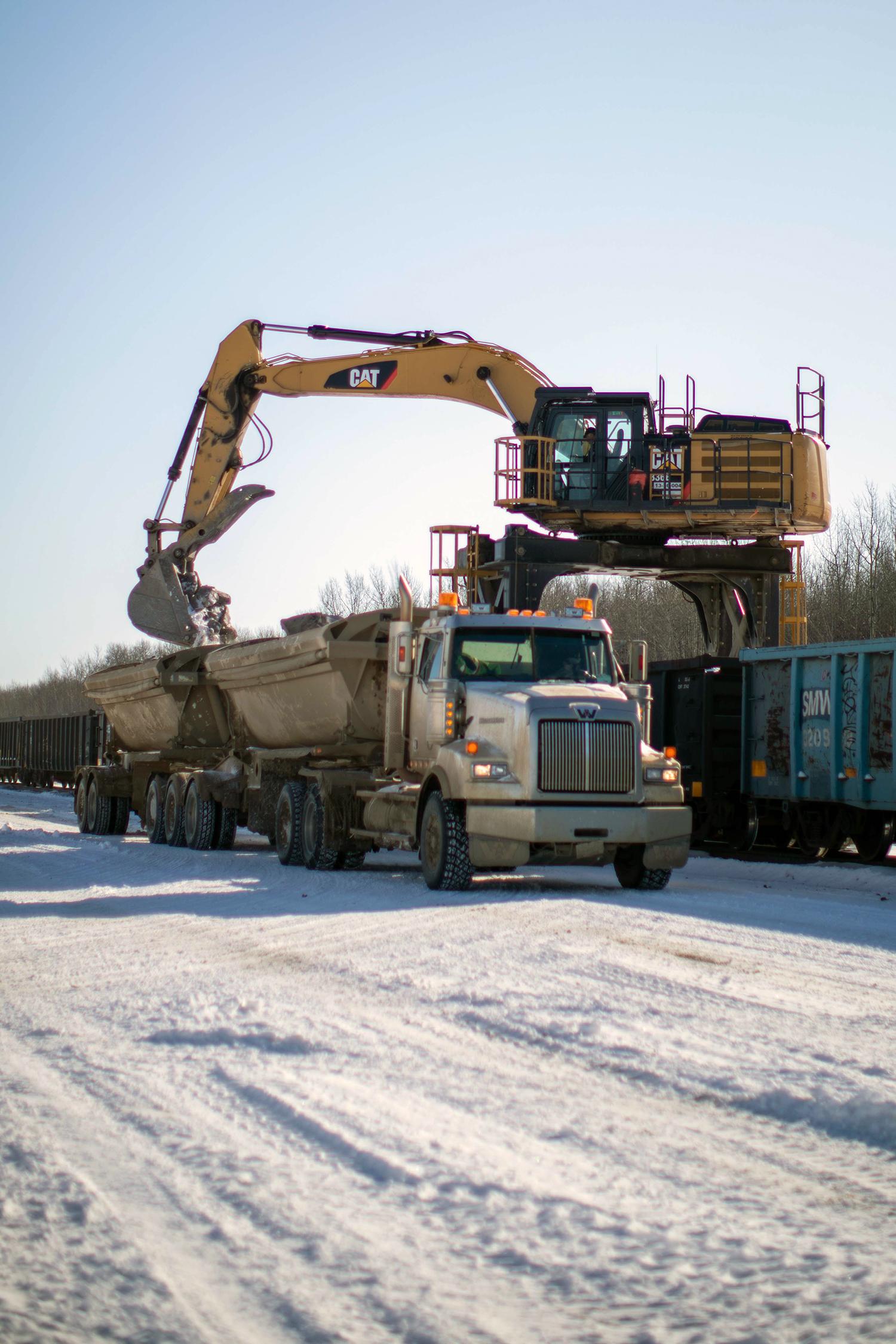
A side-dump truck is loaded with rip-rap to haul and stockpile on site for river diversion. | April 2020
Caption
A side-dump truck is loaded with rip-rap to haul and stockpile on site for river diversion. | April 2020
Media
Image
Media Name
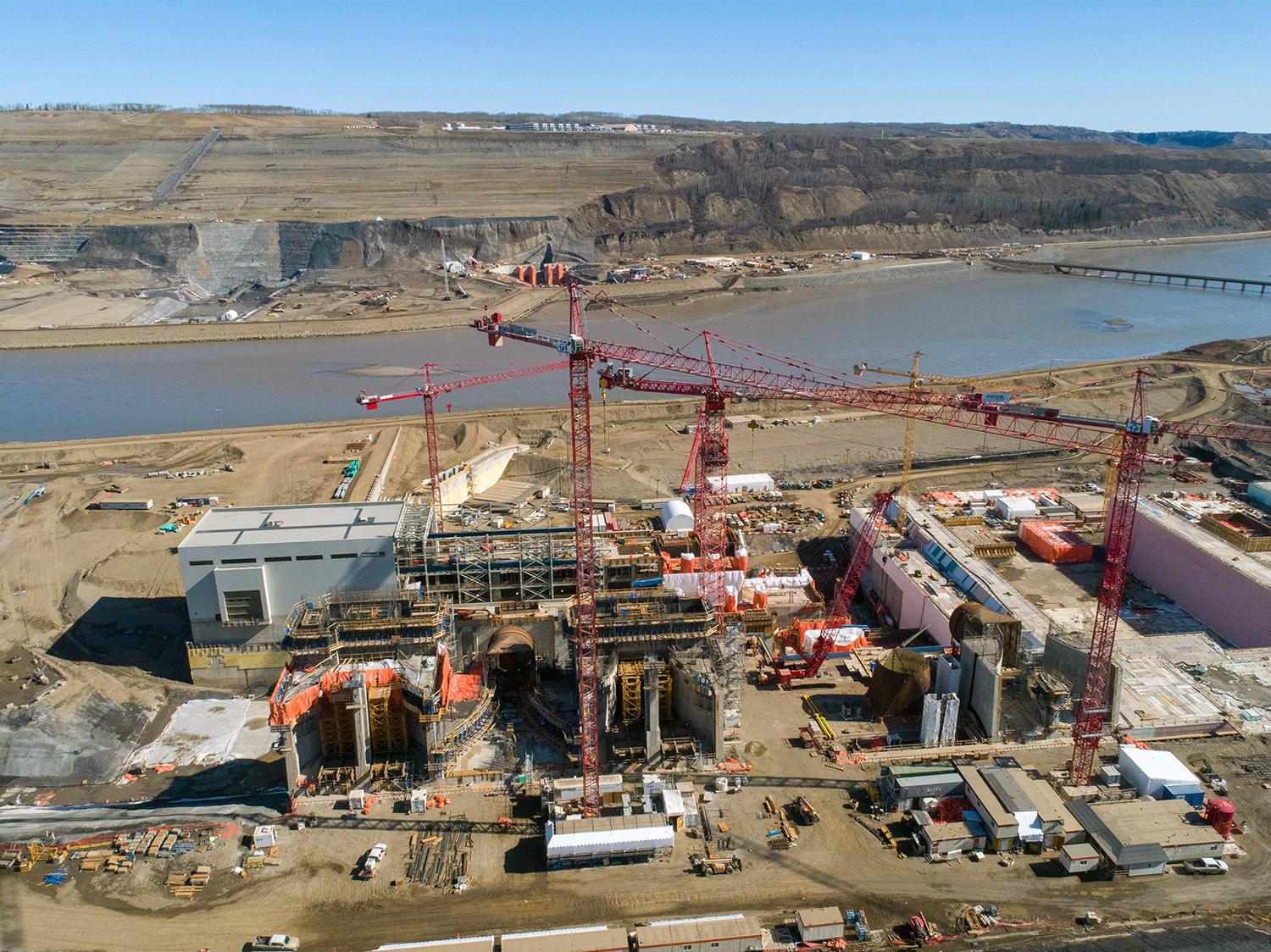
The intake gates for units 1, 2 and 3 – viewed left to right facing the north bank. The main service bay, structural steel assembly, and powerhouse and generating station are in the centre of the photo. | April 2020
Caption
The intake gates for units 1, 2 and 3 – viewed left to right facing the north bank. The main service bay, structural steel assembly, and powerhouse and generating station are in the centre of the photo. | April 2020
Media
Image
Media Name
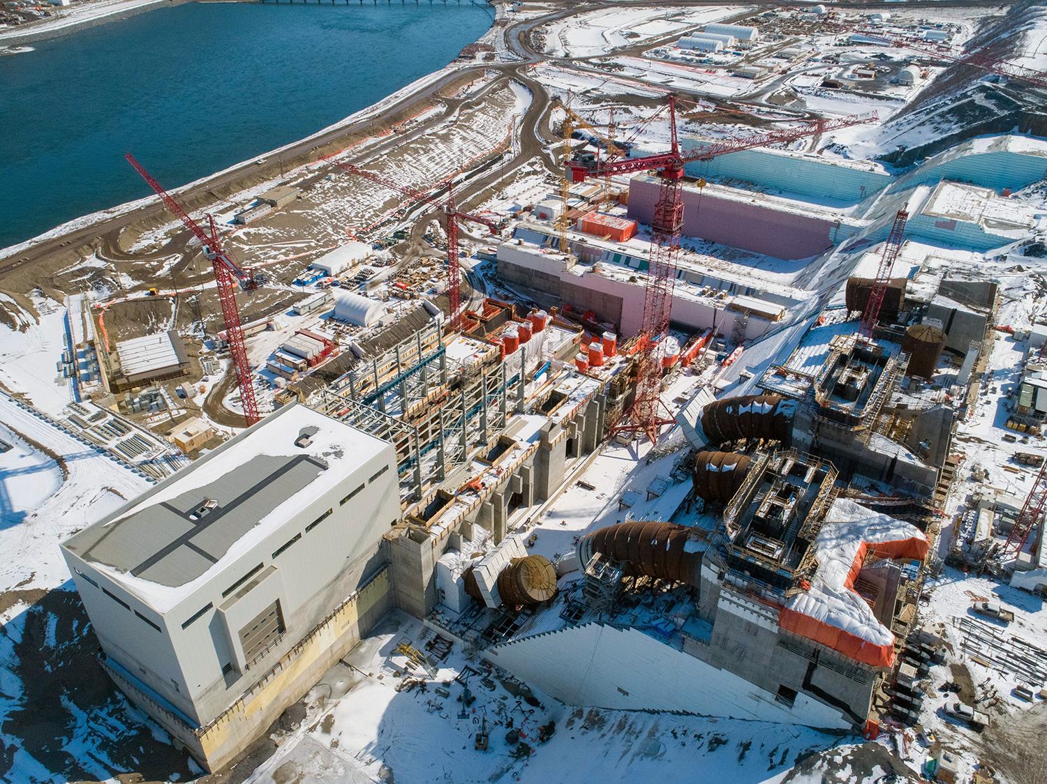
A view from the upstream end of the powerhouse and generating station. | April 2020
Caption
A view from the upstream end of the powerhouse and generating station. | April 2020
Media
Image
Media Name
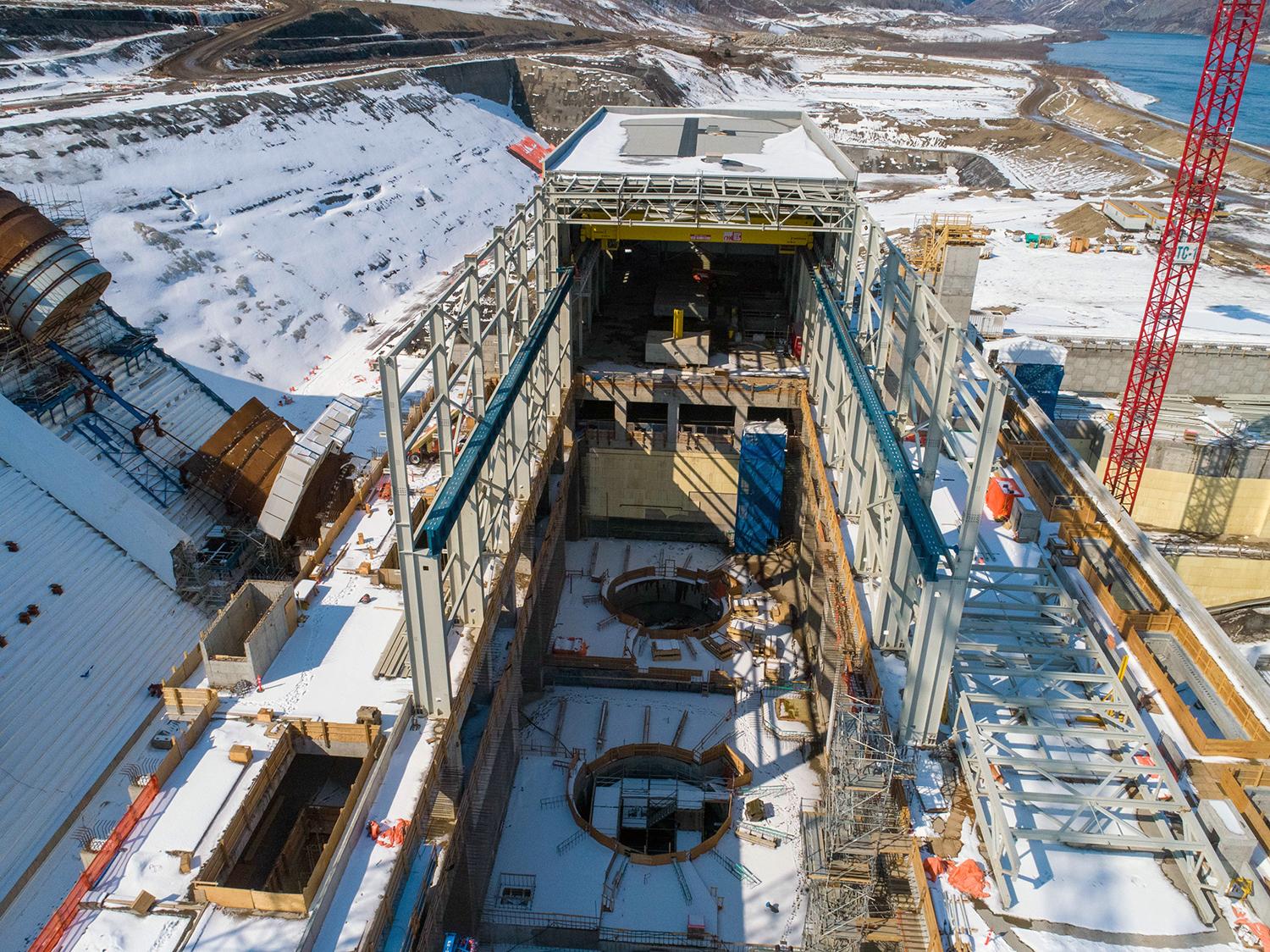
Construction continues on the structural steel building of the powerhouse over units 1 and 2. The blue beams support the crane rails for the powerhouse bridge crane. | April 2020
Caption
Construction continues on the structural steel building of the powerhouse over units 1 and 2.
The blue beams support the crane rails for the powerhouse bridge crane. | April 2020
The blue beams support the crane rails for the powerhouse bridge crane. | April 2020
Media
Image
Media Name
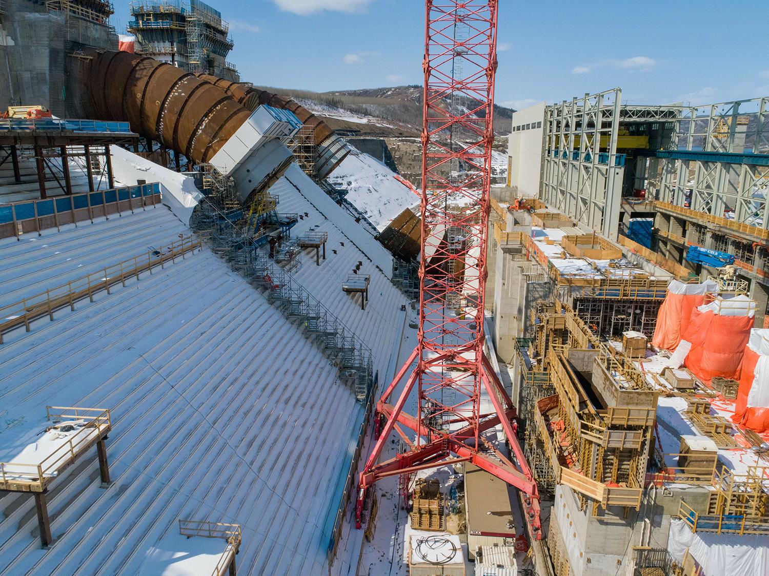
Tower crane 3 is in the foreground. It is used to lift penstock rings into place to be welded together. Penstock unit 3 and unit 1 can be seen behind the crane. | April 2020
Caption
Tower crane 3 is in the foreground. It is used to lift penstock rings into place to be welded together. Penstock unit 3 and unit 1 can be seen behind the crane. | April 2020
Media
Image
Media Name
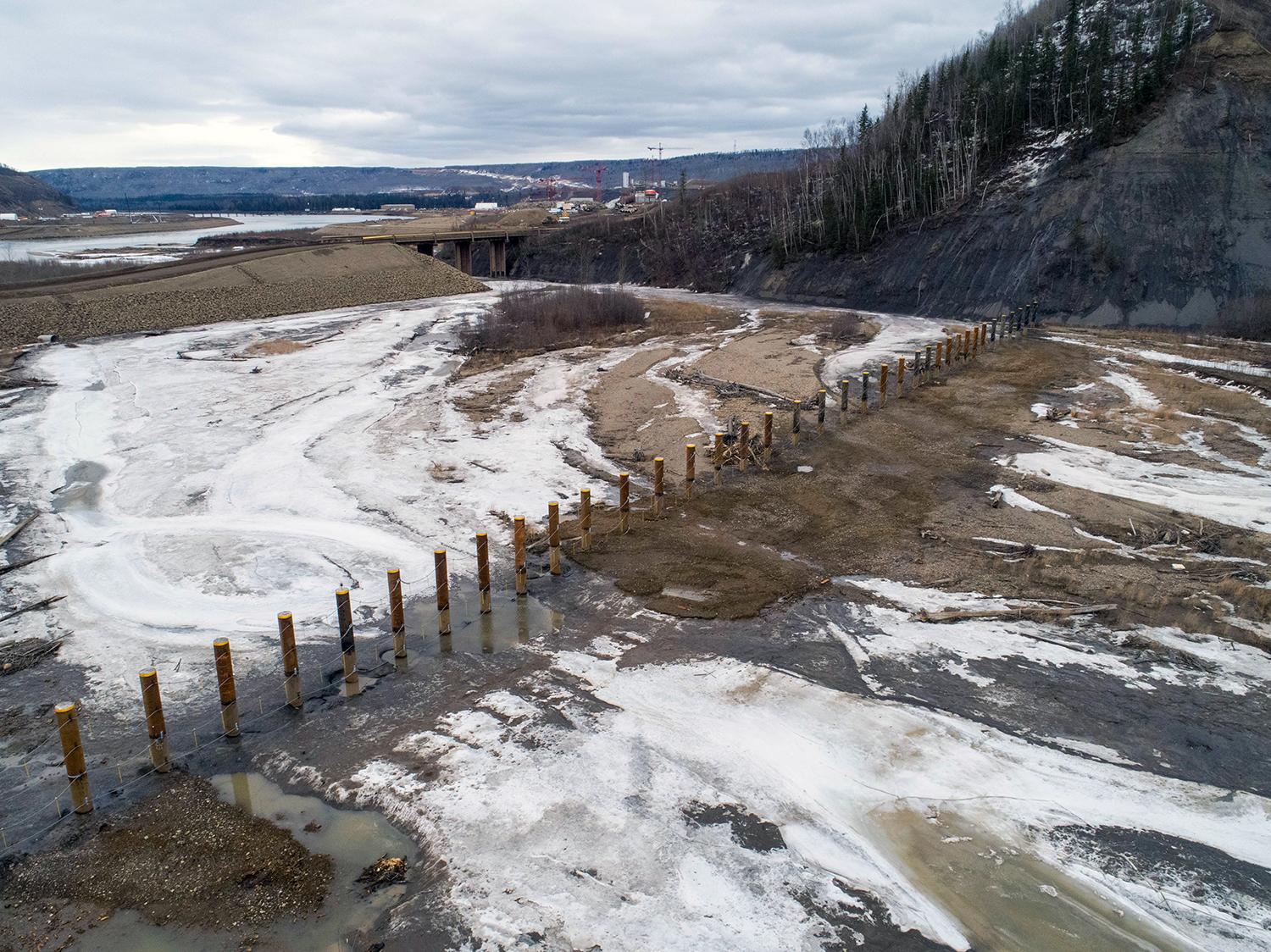
Looking east across the mouth of the Moberly River at the completed log debris boom structure. | April 2020
Caption
Looking east across the mouth of the Moberly River at the completed log debris boom structure. | April 2020
Media
Image
Media Name
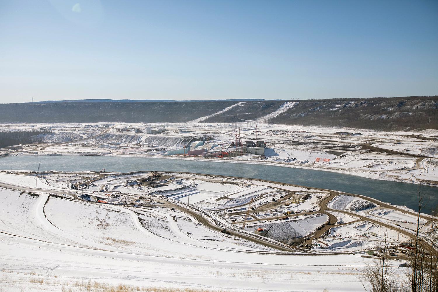
Panorama of Site C taken from the north bank facing the south bank. | April 2020
Caption
Panorama of Site C taken from the north bank facing the south bank. | April 2020
Media
Image
Media Name
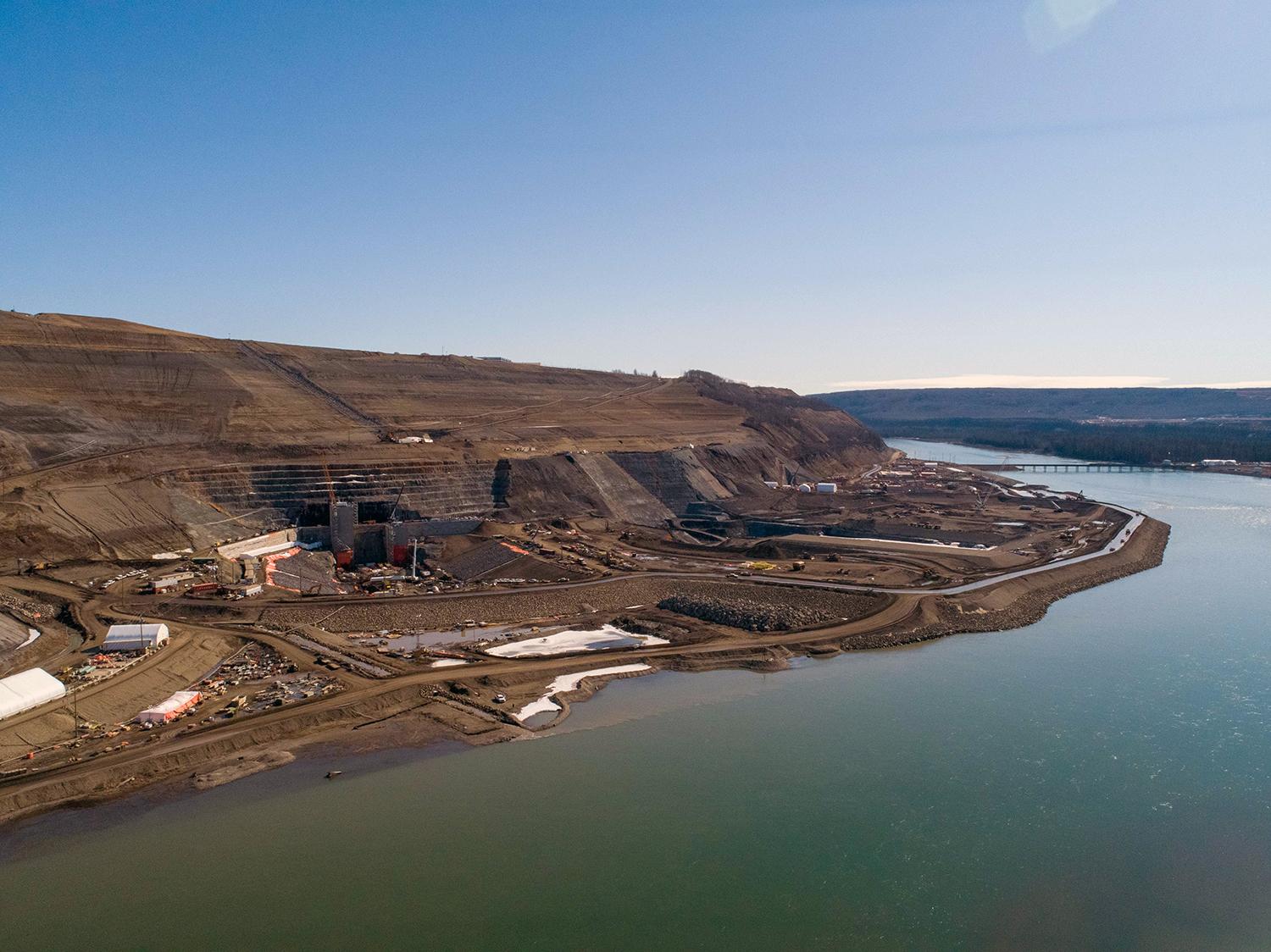
An aerial view of the upstream area of the inlet portal on the north bank. | April 2020
Caption
An aerial view of the upstream area of the inlet portal on the north bank. | April 2020
Order
9.00